Chuck Sutherland

A Tennessee naturalist's photography, maps, and projects.

Pages

  • Home
  • Resume
  • CV
  • Photo Portfolio
  • Map Portfolio
  • Flickr
  • Instagram
  • Vimeo
  • YouTube
  • Facebook
  • iNaturalist

2015/05/11

Kentucky Trip - Part 1

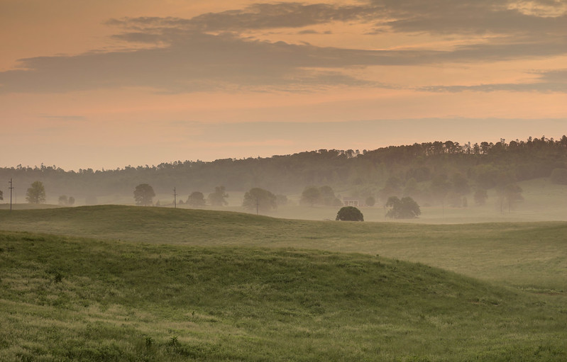
Linder Mountain, Overton County, Tennessee
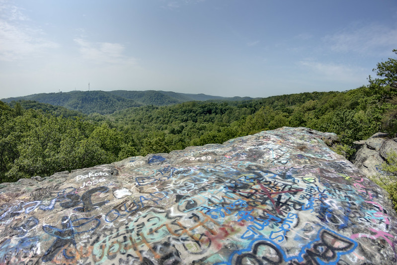
Burnt Ridge, Rockcastle County, Kentucky
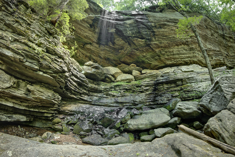
Anglin Falls, John B. Stephenson Memorial Forest SNP, Rockcastle County, Kentucky
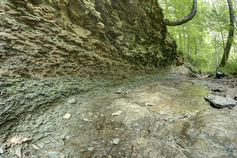
Borden formation, Angelin Fork, John B. Stephenson Memorial Forest SNP, Rockcastle County, Kentucky
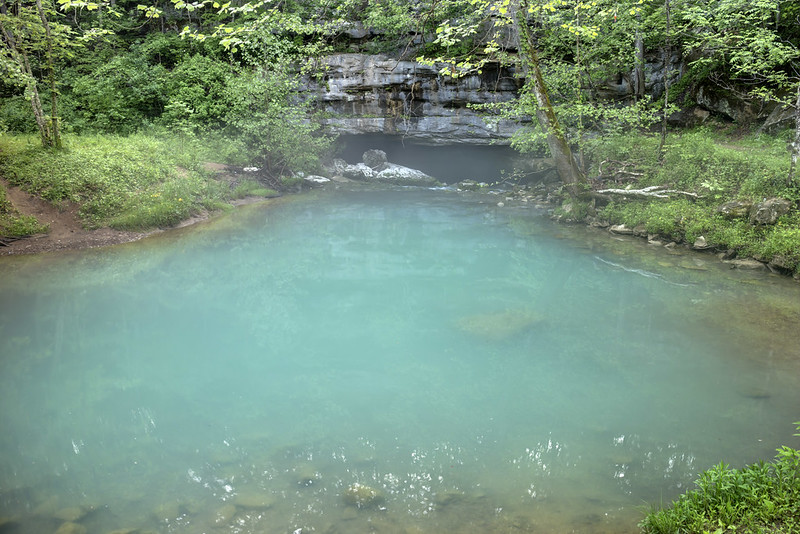
Unnamed cave, Kentucky 4
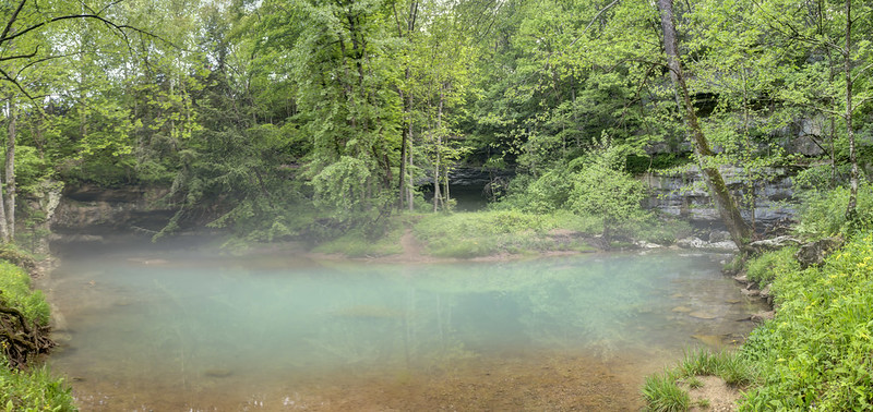
Unnamed cave, Kentucky 3
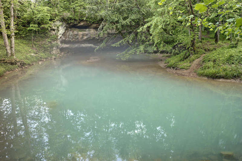
Unnamed cave, Kentucky 2
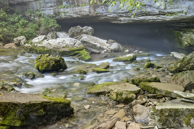
Unnamed cave, Kentucky 1
Posted by Chuck Sutherland at 5/11/2015
Email ThisBlogThis!Share to TwitterShare to FacebookShare to Pinterest

No comments:

Post a Comment

Newer Post Older Post Home
Subscribe to: Post Comments (Atom)

Contact

  • cjsuther21@gmail.com
  • Facebook messenger

Search This Blog

Blog Archive

  • ►  2023 (4)
    • ►  April (3)
    • ►  March (1)
  • ►  2022 (6)
    • ►  November (1)
    • ►  July (1)
    • ►  June (1)
    • ►  May (1)
    • ►  April (1)
    • ►  March (1)
  • ►  2021 (23)
    • ►  December (1)
    • ►  October (1)
    • ►  September (3)
    • ►  August (5)
    • ►  July (1)
    • ►  June (4)
    • ►  May (1)
    • ►  April (1)
    • ►  March (1)
    • ►  February (4)
    • ►  January (1)
  • ►  2020 (17)
    • ►  December (1)
    • ►  June (3)
    • ►  May (1)
    • ►  April (1)
    • ►  March (2)
    • ►  February (4)
    • ►  January (5)
  • ►  2019 (20)
    • ►  December (1)
    • ►  November (5)
    • ►  October (11)
    • ►  June (1)
    • ►  April (1)
    • ►  February (1)
  • ►  2018 (16)
    • ►  September (1)
    • ►  August (3)
    • ►  June (1)
    • ►  April (4)
    • ►  March (2)
    • ►  February (2)
    • ►  January (3)
  • ►  2017 (10)
    • ►  December (3)
    • ►  October (2)
    • ►  September (1)
    • ►  February (3)
    • ►  January (1)
  • ►  2016 (15)
    • ►  December (3)
    • ►  November (1)
    • ►  October (2)
    • ►  September (5)
    • ►  June (2)
    • ►  March (1)
    • ►  January (1)
  • ▼  2015 (17)
    • ►  December (2)
    • ►  November (1)
    • ►  September (1)
    • ►  August (3)
    • ►  July (4)
    • ►  June (1)
    • ▼  May (2)
      • Kentucky Trip - Part 2
      • Kentucky Trip - Part 1
    • ►  April (3)
  • ►  2014 (10)
    • ►  March (3)
    • ►  February (2)
    • ►  January (5)
  • ►  2013 (4)
    • ►  December (2)
    • ►  November (1)
    • ►  October (1)
  • ►  2012 (2)
    • ►  December (1)
    • ►  May (1)
  • ►  2011 (1)
    • ►  February (1)
  • ►  2010 (7)
    • ►  October (2)
    • ►  September (1)
    • ►  May (2)
    • ►  January (2)
  • ►  2008 (6)
    • ►  June (2)
    • ►  February (1)
    • ►  January (3)
  • ►  2006 (2)
    • ►  September (1)
    • ►  April (1)
  • ►  2005 (1)
    • ►  December (1)

Labels

  • alabama
  • archaeology
  • botany
  • cartography
  • cave
  • caving
  • data
  • fossils
  • gear
  • geography
  • geology
  • georgia
  • gis
  • hiking
  • history
  • kentucky
  • math
  • music
  • photography
  • photoshop
  • promotion
  • rescue
  • self
  • skeptic
  • storm
  • tennessee
  • texas
  • tourism
  • tutorial
  • USA
  • volunteer
  • waterfall
  • weather
  • wildflowers
  • winter
iNaturalist
View
Chuck Sutherland's
observations
Thumb

Popular Posts

  • Missing People Map
    Sometime around middle to late November of 2019, I started getting tagged in posts on Reddit and Facebook where a map purported to show a c...
  • 8 Secrets of Cookeville and Putnam County
    For the purpose of this blog post, secret is somewhat subjective. All the below places have been visited and documented well before my time...
  • The Cumberland Plateau
    Table of Contents Part 1 - Geology How it got here Crossbedding Fossils Liesegang Rings Minerals Sandstone as ...
©Chuck Sutherland. Powered by Blogger.