A Tennessee naturalist's photography, maps, and projects.
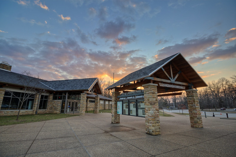
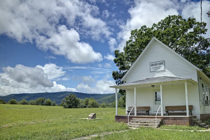
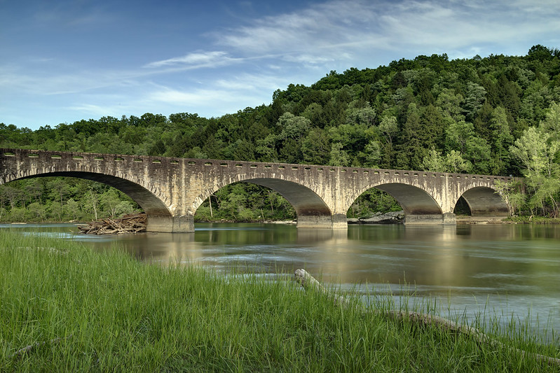
Architecture and Real Estate Photography
Get link
Facebook
X
Pinterest
Email
Other Apps
I am available to shoot architecture and real estate in the region of middle Tennessee. Please contact me via email at cjsuther21@gmail.com. Examples of some of my photos are below.
Sometime around middle to late November of 2019, I started getting tagged in posts on Reddit and Facebook where a map purported to show a correlation between missing person cases and caves. The two maps in question were of terrible quality in both content and image quality (so very much JPG compression). Somehow these maps managed to capture the public's attention for several weeks. In fact, more than two months later I am still being asked questions about the map. What follows is a critical analysis of the maps from both a cartographer's perspective, as well as a caver's. Origin Where did each image come from that comprised the map? The top image is titled " North America Cluster Map " and is produced by the Canam Missing Project / Missing 411. I cannot comment on the methods used to produce the map since they aren't stated. For this reason I am immediately suspect that this is conveying real information. I'll touch on why the form of this ma...
Table of Contents Part 1 - Geology How it got here Crossbedding Fossils Liesegang Rings Minerals Sandstone as a Resource Tafoni Part 2 - Geography Natural Arches Overlooks Rivers Rock Shelters Slot Canyons / Caves Rock Towns Waterfalls Regional Geology Presentation (2 hours) Part 1 - Geology How it got here About 325 - 260 million years ago, a mountain building event, called the Alleghanian orogeny happened as a result of the collision of the North America and Africa continental plates. The Cumberland Plateau represents the least deformed and westernmost region affected by this event. The Cumberland Plateau is defined by Pennsylvanian sandstones. The Pennsylvanian sandstones are often referred to as "caprock" by geologists because they lie atop the more easily weathered Mississippian sedimentary rocks and provide a protective roof. The Plateau is known for many unique physical features, as well as i...
Using quick and dirty analysis with a 10M Digital Elevation Model (DEM), I produced this dataset which shows the high and low points for each county. The highest point in Tennessee (as any native would know) is in Sevier County at Clingmans Dome, at 6644.33' The lowest point is in Davidson County at a Vulcan Materials quarry at just 90.18' above sea level. Of course, this doesn't include locations that are underground, so let's qualify that this is the lowest point that is not underground. Below is the table if you want to look at your home county. County High Point Map High Point Elevation Low Point Map Low Point Elevation Anderson 36.198101,-84.230138 3527.87 36.021527,-84.324953 757.79 Bedford 35.659490,-86.304398 1355.83 35.578287,-86.637268 630.75 Benton 35.852453,-88.206064 683.96 36.018287,-88.003935 338.01 Bledsoe 35.743564,-84.991342 2680.95 35.434861,-85.335046 707.66 Blount 35.568564,-83.70625 5526.05 35.874212,-84.009953 803.36 Bradley 3...


Comments