Waterfalls and Wildflowers at Standing Stone
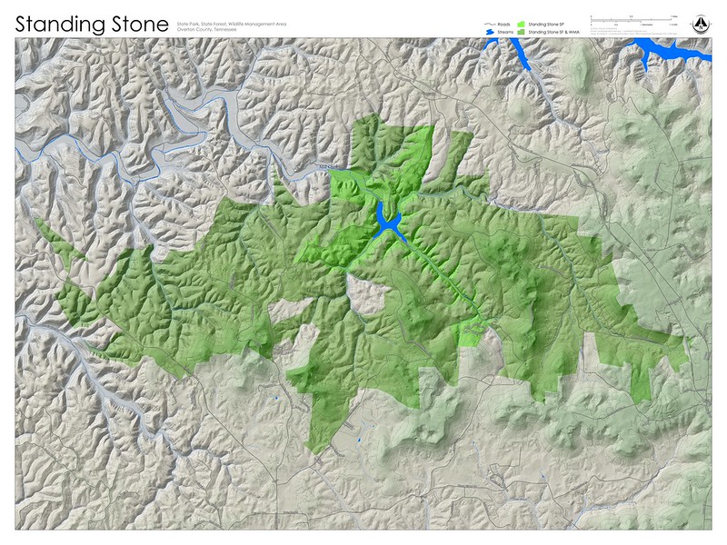
Standing Stone is an area named for the monolith that once stood in Monterey. (Sadly, little remains of the original monolith.) The area consists of a state park, state forest, and a wildlife management area.
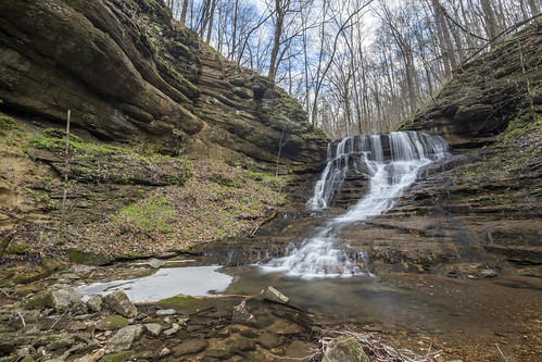
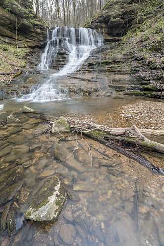
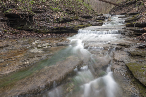
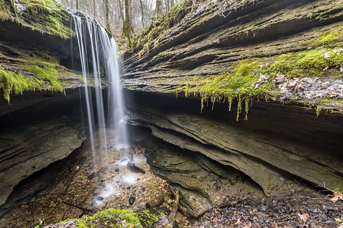
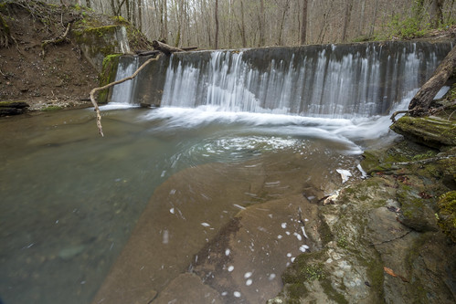
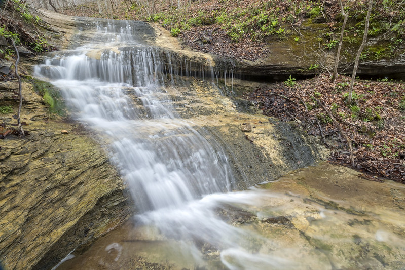
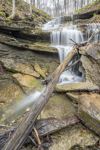
I spent several days over the last week exploring Standing Stone trying to catch wildflowers in their prime. My timing was excellent and the showing of wildflowers was as well. After a few hours of exploration I noted that the Chattanooga shale exposed in the park often produced nice cascades and waterfalls. Unfortunately, most were ephemeral features. On a hunch I ended up walking up Bryans Creek and found the most beautiful undescribed 35' waterfall.
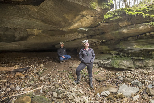
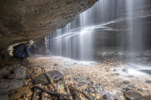
Previous to my documentation of Bryans Creek Falls, I had bumbled around with my friends Kurt Heischmidt and Haley Dickson. We visited OV440 (a cave whose name I feel best to withhold), and a few other interesting features.
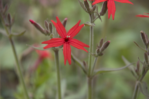
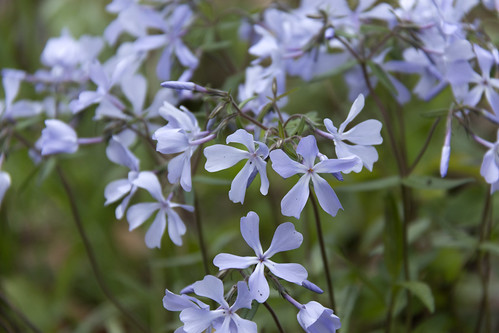
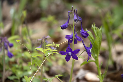
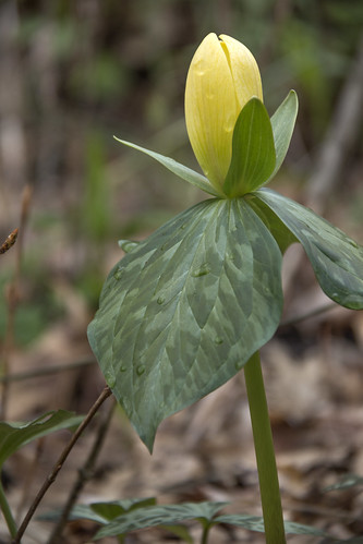
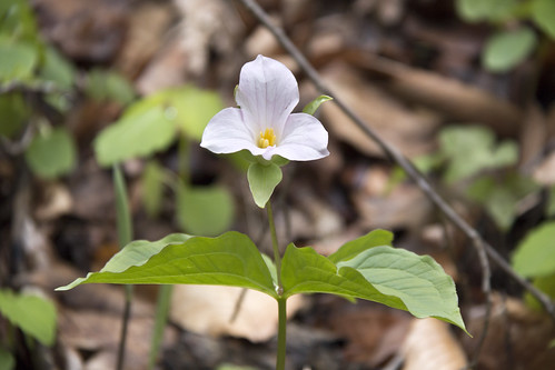
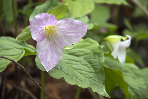
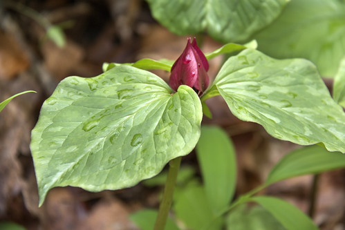
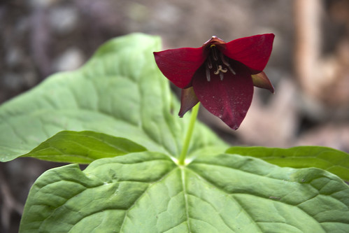
Then there were the wildflowers. Five species of trillium, and plenty of other flowers certainly made the trip worthwhile.


Comments
I just spent the weekend at Standing Stone State Park and hiked the Lake Trail and Jordan and Cabin spur trails. My friend and I also explored the abandoned camp loop and wanted to find the waterfall you wrote about it. We went off the beaten path and followed Bryan's Fork Creek on the right side of the mountain and not the wide path that leads upward to the left after you cross the man-made structure from the pull-off on the road past the Lake Trail crossing across the creek. Could you share the path you took to locate the waterfall and the cave you found. Were we in the right spot to find the 35-foot waterfall?
Thank you so much!