Topographic Position Index (TPI) as an Alternative to Hypsometric Shading
Hypsometric Shading
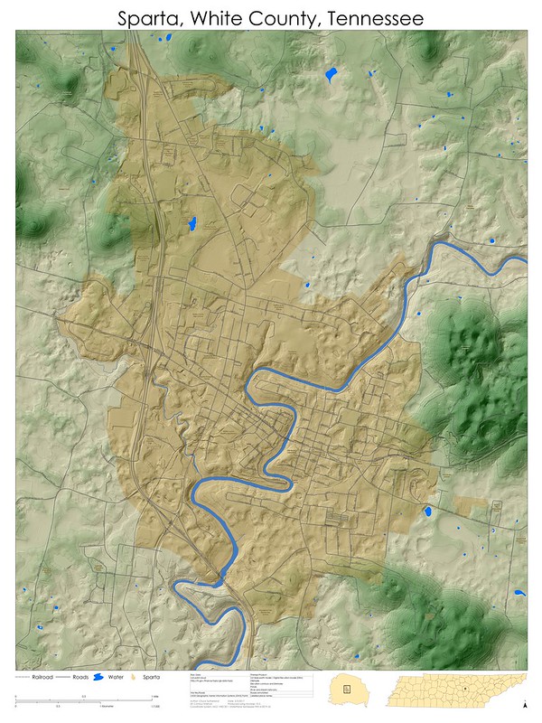
Hypsometric Shading is a method that I have been using to generate beautiful basemaps well before I knew what it was called. Sometime during my undergraduate days I had the idea to view a hillshade at 50% transparency and lay it atop a color-ramp-ed elevation layer. The resulting output was already well known to cartographers, and appears to have been first done in 1503 by one of my very favorite historic figures, Leonardo da Vinci.
While I am no Leonardo, I offer these examples of my previous work as a means to better understand what hypsometric shading looks like.

Topographic Position Index (TPI)
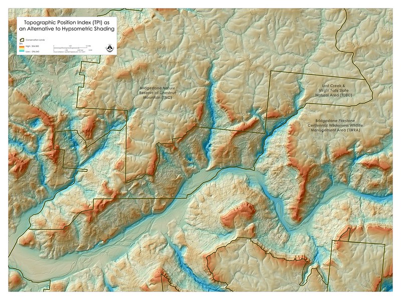
The TPI layer draws attention to areas, which are on average lower or higher than their surroundings. I first learned of TPI as an analysis tool through Jenness Enterprises's Land Facet Corridor Designer extension for ArcGIS. As an alternative to that tool I applied some of my Photoshop image processing skills when I realized the nature of TPI. It's unsharp mask. In other words, a gaussian blur is applied to the original image, and then that is subtracted from the original image and a histogram stretch applied. With ArcMap, one can designate the histogram stretch method very specifically without altering the values of the raster, and one can apply a color ramp.
Without invoking the tool, one can use focal statistics in place of the gaussian blur, and use raster calculator to subtract the focal statistics layer. In other words, it would look like this:

All this is just to say, "Hey, this may look cool." Let me know if and how you use it. :)


Comments